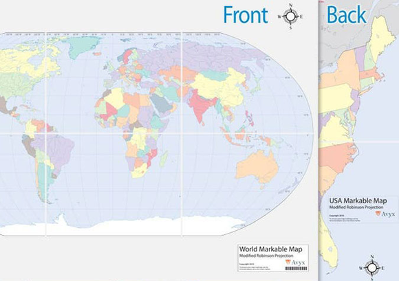
23" x 34" world and USA outline maps printed back-to-back and laminated for you to mark with overhead projector pens or grease pencils.
Folds flat, to smaller than 12" x 12". Modified Robinson Projection. Includes major political boundaries and rivers. Perfect for creating your own notes and locations. A Required Resource in History / Bible / Literature A through W.
Does not include markers.
For additional details, or to purchase the Markable Map with the water-based markers you'll need the Markable Map and Markers Package.